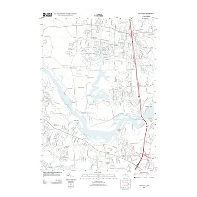
2013 Map of Niskayuna
USGS Topo · Published 2013About this map
The Mohawk River carves a deep path through this landscape, dividing the agricultural and suburban stretches of Saratoga and Albany counties. Along its banks, the historical significance of the waterway is evident at Vischer Ferry and Dunsbach Ferry, where early crossing points once anchored local commerce. The map reveals a high concentration of established community centers and rural corners, such as Groom Corners, Flagler Corners, and Verdoy.
Find a feature on this map
56 named features on this map. Tap any name to fly to it.
Don’t see what you’re looking for? This feature index may not catch every label — zoom into the map to look around manually.
Map Details
Editions of this 2013 Niskayuna Map
This is the sole edition of this map. No revisions or reprints were ever made.
Other maps of this area

1893 · Cohoes
USGS Topo · 1:62,500

1893 · Troy
USGS Topo · 1:62,500

1893 · Schenectady
USGS Topo · 1:62,500

1893 · Albany
USGS Topo · 1:62,500

1895 · Troy
USGS Topo · 1:62,500

1895 · Cohoes
USGS Topo · 1:62,500

1895 · Albany
USGS Topo · 1:62,500

1895 · Schenectady
USGS Topo · 1:62,500

1898 · Schenectady
USGS Topo · 1:62,500

1898 · Albany
USGS Topo · 1:62,500