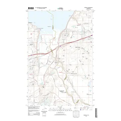
2014 Map of Nisqually
USGS Topo · Published 2014About this map
Nisqually Reach and the Puget Sound shoreline define the northern edge of this landscape, where the Nisqually River empties through the expansive Nisqually Flats. The territory is largely dominated by the northern reaches of Fort Lewis, a military landscape marked by numerous named heights including Atkins Hill, Jansen Hill, and Goodman Hill. The map documents the complex boundary between the Nisqually Indian Community and the training grounds of the post, specifically noting bluffs named for military units such as Eighteenth Infantry Bluff and Thirty-eight Infantry Bluff.
Find a feature on this map
155 named features on this map. Tap any name to fly to it.
Don’t see what you’re looking for? This feature index may not catch every label — zoom into the map to look around manually.
Map Details
Editions of this 2014 Nisqually Map
This is the sole edition of this map. No revisions or reprints were ever made.
Other maps of this area

1916 · Chehalis
USGS Topo · 1:125,000

1937 · Olympia
USGS Topo · 1:62,500

1940 · Tenino
USGS Topo · 1:62,500

1940 · Anderson Island
USGS Topo · 1:62,500

1944 · Tenino
USGS Topo · 1:62,500

1944 · Yelm
USGS Topo · 1:62,500

1948 · Anderson Island
USGS Topo · 1:62,500

1948 · Fort Lewis
USGS Topo · 1:24,000

1948 · Nisqually
USGS Topo · 1:24,000

1948 · Anderson Island
USGS Topo · 1:24,000