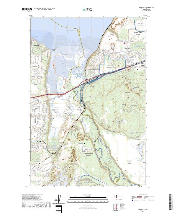
2023 Map of Nisqually
USGS Topo · Published 2023About this map
The Nisqually River delta serves as the ecological and cultural heart of this Pierce and Thurston County landscape, dominated by the Billy Frank Jr Nisqually National Wildlife Refuge. The map illustrates a complex transition from the tidal Nisqually Flats and the Puget Sound shoreline at Nisqually Reach to the sprawling military installations of Joint Base Lewis-McChord.
Find a feature on this map
81 named features on this map. Tap any name to fly to it.
Don’t see what you’re looking for? This feature index may not catch every label — zoom into the map to look around manually.
Map Details
Editions of this 2023 Nisqually Map
This is the sole edition of this map. No revisions or reprints were ever made.
Other maps of this area
1916 · Chehalis
USGS Topo · 1:125,000
1937 · Olympia
USGS Topo · 1:62,500
1940 · Tenino
USGS Topo · 1:62,500
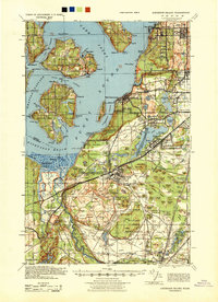
1940 · Anderson Island
USGS Topo · 1:62,500
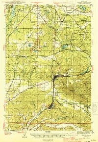
1944 · Tenino
USGS Topo · 1:62,500
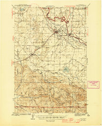
1944 · Yelm
USGS Topo · 1:62,500
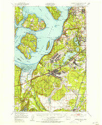
1948 · Anderson Island
USGS Topo · 1:62,500
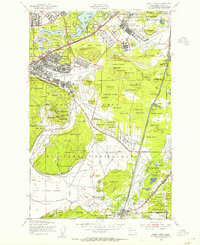
1948 · Fort Lewis
USGS Topo · 1:24,000
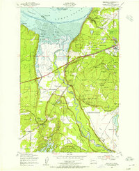
1948 · Nisqually
USGS Topo · 1:24,000
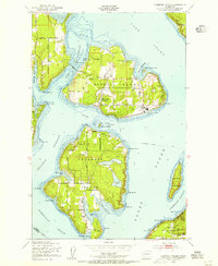
1948 · Anderson Island
USGS Topo · 1:24,000