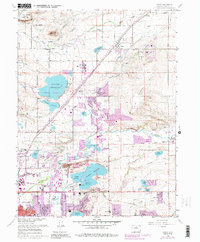
2022 Map of Niwot
USGS Topo · Published 2022About this map
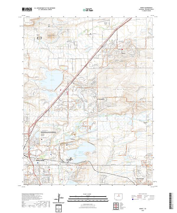
Gunbarrel and Niwot anchor this high-plains landscape, where the legacy of early water management is visible in an intricate network of ditches and canals. The map details the sophisticated irrigation system essential to the Saint Vrain Basin, including the Table Mountain Ditch, Holland Ditch, and Boulder Feeder Canal. These waterways snake around prominent landforms like Haystack Mtn and Valmont Butte, illustrating how the natural topography was adapted for agricultural and municipal use.
Find a feature on this map
102 named features on this map. Tap any name to fly to it.
Don’t see what you’re looking for? This feature index may not catch every label — zoom into the map to look around manually.
Map Details
Editions of this 2022 Niwot Map
This is the sole edition of this map. No revisions or reprints were ever made.
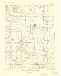
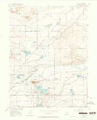
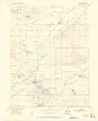
Historical Maps of Niwot Through Time
5 maps found