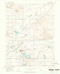
1950 Map of Niwot
USGS Topo · Published 1964About this map
Niwot and the surrounding agricultural landscape of Boulder County are defined here by a dense network of water management, with numerous named reservoirs and irrigation ditches supporting the valley. The terrain is punctuated by prominent landmarks such as Haystack Mountain and Table Mountain to the north, while Valmont Butte stands near the industrial and transportation hub of Valmont. This mid-century survey documents a rural educational landscape featuring several country schools, including Batchelder School and White Rock School, many of which served as local community anchors before later consolidation. The movement of goods and people is traced through the Southern and Burlington Route railroads, which intersect the landscape alongside early local roads like Hinman. From the Boulder Airport to the various cemeteries like Mountain View Cemetery, the map captures the transition of the front range from traditional farming towards modern infrastructure.
Find a feature on this map
43 named features on this map. Tap any name to fly to it.
Don’t see what you’re looking for? This feature index may not catch every label — zoom into the map to look around manually.
Map Details
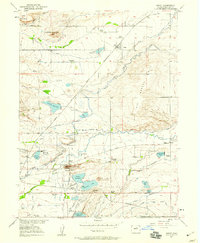
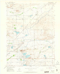
Editions of this 1950 Niwot Map
4 editions found

Other maps of this area

1899 · West Denver
USGS Topo · 1:125,000

1902 · Boulder
USGS Topo · 1:62,500

1904 · Niwot
USGS Topo · 1:62,500

1904 · Boulder
USGS Topo · 1:62,500

1906 · Blackhawk
USGS Topo · 1:62,500

1940 · Lafayette
USGS Topo · 1:31,680

1942 · Eldorado Springs
USGS Topo · 1:24,000

1942 · Louisville
USGS Topo · 1:31,680

1944 · Lafayette
USGS Topo · 1:31,680

1944 · Eldorado Springs
USGS Topo · 1:31,680