
1942 Map of Louisville
USGS Topo · Published 1942About this map
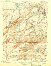
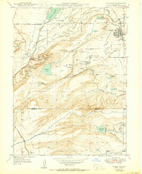
The high plains of Boulder County, Colorado, are meticulously detailed in this early 1940s survey, showing a landscape defined by an intricate network of irrigation and mining-related water management. The town of Louisville serves as the primary population center, featuring its High Sch and street grid just prior to the post-war suburban boom. To the west, the settlements of Marshall and Marshallville sit near Marshall Lake, while the community of Superior is positioned further south along the Coal Creek corridor.
Find a feature on this map
28 named features on this map. Tap any name to fly to it.
Don’t see what you’re looking for? This feature index may not catch every label — zoom into the map to look around manually.
Map Details
Editions of this 1942 Louisville Map
3 editions found
Other maps of this area

1899 · West Denver
USGS Topo · 1:125,000

1902 · Boulder
USGS Topo · 1:62,500

1904 · Niwot
USGS Topo · 1:62,500

1904 · Boulder
USGS Topo · 1:62,500

1906 · Blackhawk
USGS Topo · 1:62,500

1939 · Golden
USGS Topo · 1:24,000

1940 · Lafayette
USGS Topo · 1:31,680

1941 · Arvada
USGS Topo · 1:31,680

1942 · Eldorado Springs
USGS Topo · 1:24,000

1942 · Golden
USGS Topo · 1:31,680