
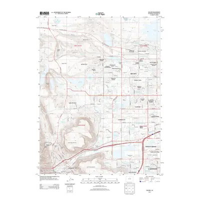
1942 Map of Golden
USGS Topo · Published 1942About this map
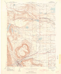
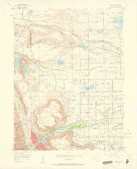
North Table Mountain and South Table Mountain dominate this landscape, framing the valley where Golden sits at the foot of the mountains. This 1939 survey captures a complex irrigation and transit network vital to the region's development. A dense web of water management systems including the Farmers Highline Canal and the Wannamaker and Southern Canal supports the agricultural lands surrounding settlements like Leyden and Thompson.
Find a feature on this map
41 named features on this map. Tap any name to fly to it.
Don’t see what you’re looking for? This feature index may not catch every label — zoom into the map to look around manually.
Map Details
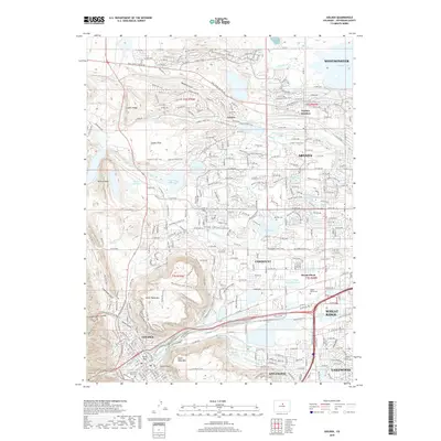
Editions of this 1942 Golden Map
This is the sole edition of this map. No revisions or reprints were ever made.
Historical Maps of Lakewood Through Time
10 maps found
1939 Golden
Jefferson County, CO
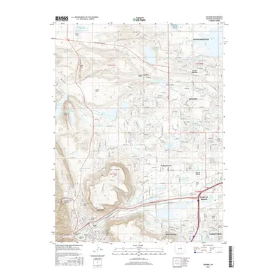
1942 Golden
Jefferson County, CO

1944 Golden
Jefferson County, CO
1957 Golden
Jefferson County, CO
1965 Golden
Jefferson County, CO
2010 Golden
Jefferson County, CO
2013 Golden
Jefferson County, CO
2016 Golden
Jefferson County, CO
2019 Golden
Jefferson County, CO
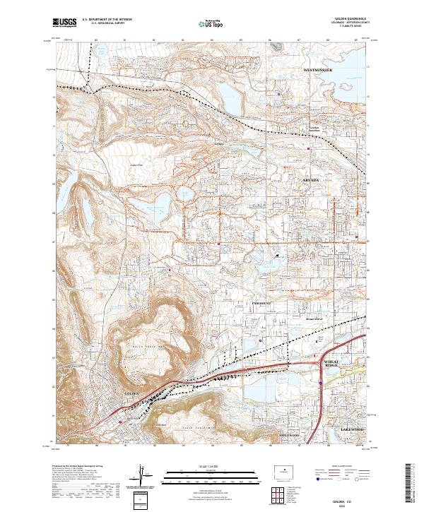
2022 Golden
Jefferson County, CO