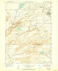
1942 Map of Louisville
USGS Topo · Published 1950About this map
Louisville and Superior serve as the primary hubs in this mid-century survey of Boulder County, which captures the region's transition from a coal-dependent economy to a landscape shaped by water management. The area is heavily marked by its industrial heritage, with numerous coal workings such as the Crown Mine, New Red Ash Mine, and the Industrial Mine (Aban'd) dotting the terrain between Davidson Mesa and Shanahan Hill. Many of these sites, including the Cracker Jack Mine, reflect the fading coal era as mines were listed as inactive or abandoned by 1950.
Find a feature on this map
57 named features on this map. Tap any name to fly to it.
Don’t see what you’re looking for? This feature index may not catch every label — zoom into the map to look around manually.
Map Details
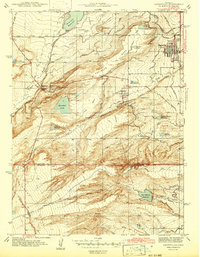
Editions of this 1942 Louisville Map
3 editions found

Other maps of this area

1899 · West Denver
USGS Topo · 1:125,000

1902 · Boulder
USGS Topo · 1:62,500

1904 · Niwot
USGS Topo · 1:62,500

1904 · Boulder
USGS Topo · 1:62,500

1906 · Blackhawk
USGS Topo · 1:62,500

1939 · Golden
USGS Topo · 1:24,000

1940 · Lafayette
USGS Topo · 1:31,680

1941 · Arvada
USGS Topo · 1:31,680

1942 · Eldorado Springs
USGS Topo · 1:24,000

1942 · Golden
USGS Topo · 1:31,680