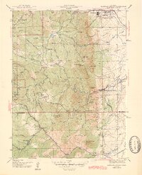
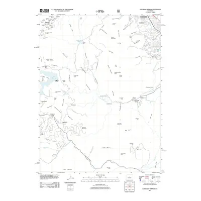
1944 Map of Eldorado Springs
USGS Topo · Published 1944About this map
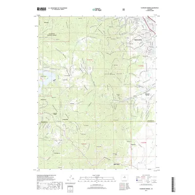
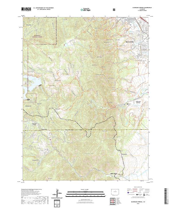
The Flatirons and the towering peaks of the Boulder Mountain range dominate this 1942 survey, where the Front Range meets the plains. The landscape is a network of steep gulches and prominent summits like Bear Peak and South Boulder Peak, which overlook the resort community of Eldorado Springs. This era shows a transition in land use, marked by the presence of Pine Grove Sch (abandoned) and the Copeland Mine, alongside established homesteads such as Kossler Ranch and Walker Ranch.
Find a feature on this map
75 named features on this map. Tap any name to fly to it.
Don’t see what you’re looking for? This feature index may not catch every label — zoom into the map to look around manually.
Map Details
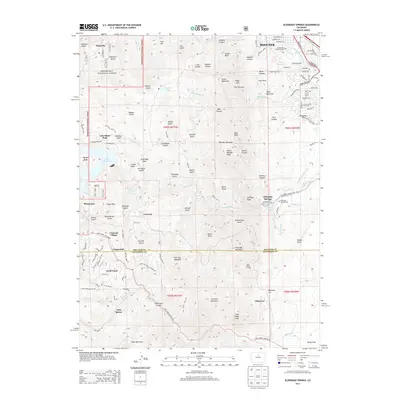
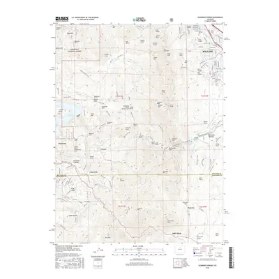
Editions of this 1944 Eldorado Springs Map
2 editions found
Historical Maps of Arvada Through Time
8 maps found
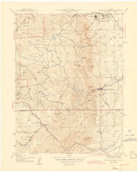
1942 Eldorado Springs
Boulder County, CO
1944 Eldorado Springs
Boulder County, CO
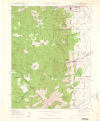
1965 Eldorado Springs
Boulder County, CO
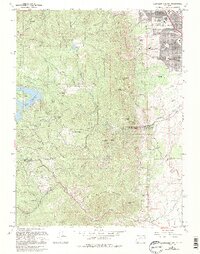
2011 Eldorado Springs
Boulder County, CO
2013 Eldorado Springs
Boulder County, CO
2016 Eldorado Springs
Boulder County, CO
2019 Eldorado Springs
Boulder County, CO
2022 Eldorado Springs
Boulder County, CO