
1942 Map of Tungsten
USGS Topo · Published 1955About this map
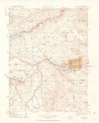
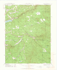
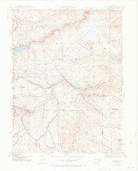
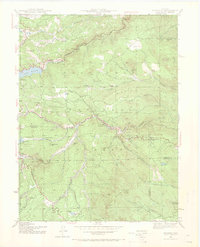
Tungsten District dominates the mountain landscape of western Boulder County, where mining history meets the early water management infrastructure of the Colorado Front Range. Surveyed in 1942, this document shows the Denver and Salt Lake railroad winding through the steep drainages of South Boulder Creek and Middle Boulder Creek, serving the vital mineral districts and small mountain communities. The map highlights the intersection of industrial extraction and high-altitude ranching, with Bradley Ranch and Giggey Ranch situated near heavy mining operations like the Manchester Mine.
Find a feature on this map
51 named features on this map. Tap any name to fly to it.
Don’t see what you’re looking for? This feature index may not catch every label — zoom into the map to look around manually.
Map Details
Editions of this 1942 Tungsten Map
5 editions found
Other maps of this area

1899 · West Denver
USGS Topo · 1:125,000

1902 · Boulder
USGS Topo · 1:62,500

1904 · Boulder
USGS Topo · 1:62,500

1905 · Central City
USGS Topo · 1:62,500

1906 · Blackhawk
USGS Topo · 1:62,500

1910 · Central City
USGS Topo · 1:62,500

1912 · Central City
USGS Topo · 1:62,500

1915 · Longs Peak
USGS Topo · 1:125,000

1919 · Rocky Mountain National Park
USGS Topo · 1:125,000

1942 · Eldorado Springs
USGS Topo · 1:24,000