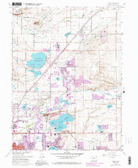
1967 Map of Niwot
USGS Topo · Published 1988About this map
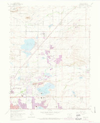
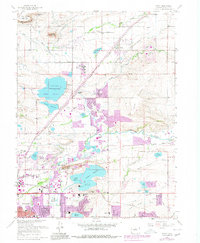
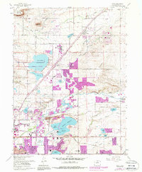
Valmont Reservoir and the adjacent Leggett Reservoir dominate the central landscape of this 1967 survey, reflecting the intensive water management of the Colorado Front Range. The presence of a power plant and the Lafayette Filtration Plant near these water bodies underscores the area's role as a regional utility hub. The Colorado and Southern railroad tracks cut diagonally across the terrain, linking the agricultural community of Niwot in the north to the industrial outskirts of Boulder in the southwest.
Find a feature on this map
52 named features on this map. Tap any name to fly to it.
Don’t see what you’re looking for? This feature index may not catch every label — zoom into the map to look around manually.
Map Details
Editions of this 1967 Niwot Map
7 editions found
Other maps of this area

1899 · West Denver
USGS Topo · 1:125,000

1902 · Boulder
USGS Topo · 1:62,500

1904 · Niwot
USGS Topo · 1:62,500

1904 · Boulder
USGS Topo · 1:62,500

1906 · Blackhawk
USGS Topo · 1:62,500

1940 · Lafayette
USGS Topo · 1:31,680

1942 · Eldorado Springs
USGS Topo · 1:24,000

1942 · Louisville
USGS Topo · 1:31,680

1944 · Lafayette
USGS Topo · 1:31,680

1944 · Eldorado Springs
USGS Topo · 1:31,680