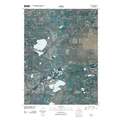
Loading...
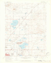
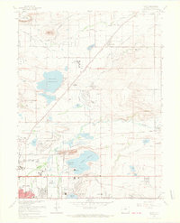
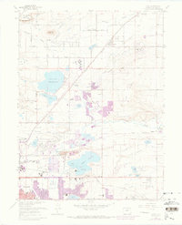
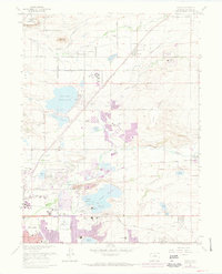
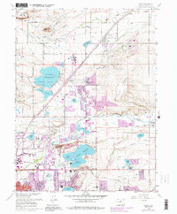
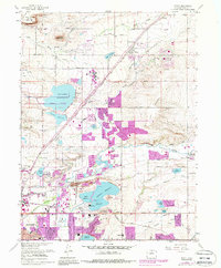
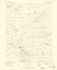
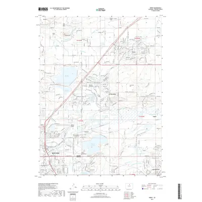
Loading map...1967 Map of Niwot
USGS Topo · Published 1968About this map
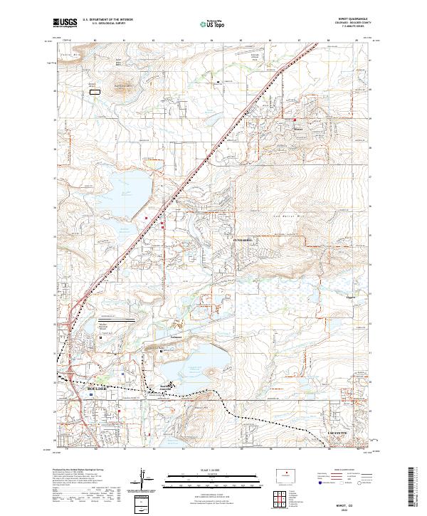
Gun Barrel Hill and Valmont Butte anchor this mid-century landscape where agricultural traditions met emerging infrastructure in the late 1960s. The area north of Boulder shows a complex network of water management, centered on the massive Boulder Reservoir and a system of ditches and creeks including Left-hand Creek and Dry Creek. Industrial and municipal development is evident through the presence of the Power Plant at Valmont, numerous Gravel Pits, and the Boulder Municipal Airport.
Find a feature on this map
54 named features on this map. Tap any name to fly to it.
Don’t see what you’re looking for? This feature index may not catch every label — zoom into the map to look around manually.
Map Details
Date Portrayed1967
Date Published1968
PublisherU.S. Geological Survey
Map TypeTopographic
Scale1:24,000
Physical Dimensions22.1 x 27.2 inches
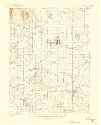
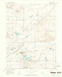
Editions of this 1967 Niwot Map
7 editions found

Historical Maps of Boulder Through Time
9 maps found
Featured Locations
Source Details
SourceU.S. Geological Survey
CopyrightPublic Domain