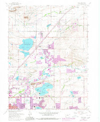
1967 Map of Niwot
USGS Topo · Published 1980About this map
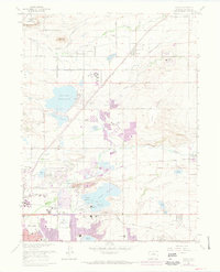
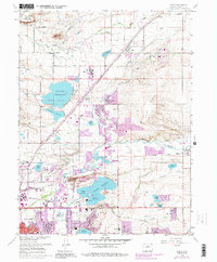
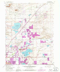
Niwot and the northeast outskirts of Boulder are shown during a period of significant suburban expansion, with purple overprinting highlighting the urban growth of the late 1970s. The landscape is defined by an extensive network of irrigation and storage, including the large Boulder Reservoir, Dodd Reservoir, and Leggett Reservoir, supporting the transition from agricultural use to residential development. The terrain is punctuated by Haystack Mountain and the prominent Valmont Butte, while the Colorado and Southern railroad and Colorado 119 provide the primary transportation corridors. Local history is anchored by the Niwot Cemetery and Valmont Cemetery, alongside community landmarks like the Boulder Country Club and the Boulder Municipal Airport. This 1967 survey, with 1979 revisions, documents the era when former gravel pits and open ranch land began transforming into the modern Front Range corridor.
Find a feature on this map
40 named features on this map. Tap any name to fly to it.
Don’t see what you’re looking for? This feature index may not catch every label — zoom into the map to look around manually.
Map Details
Editions of this 1967 Niwot Map
7 editions found
Other maps of this area

1899 · West Denver
USGS Topo · 1:125,000

1902 · Boulder
USGS Topo · 1:62,500

1904 · Niwot
USGS Topo · 1:62,500

1904 · Boulder
USGS Topo · 1:62,500

1906 · Blackhawk
USGS Topo · 1:62,500

1940 · Lafayette
USGS Topo · 1:31,680

1942 · Eldorado Springs
USGS Topo · 1:24,000

1942 · Louisville
USGS Topo · 1:31,680

1944 · Lafayette
USGS Topo · 1:31,680

1944 · Eldorado Springs
USGS Topo · 1:31,680