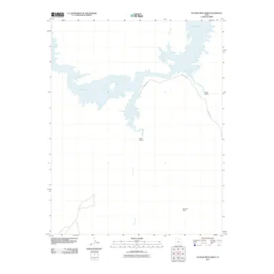
2011 Map of No Mans Mesa North
USGS Topo · Published 2011About this map
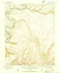
Lake Powell dominates the northern landscape of this region, its reach extending into deep desert drainages where water meets the arid high country of San Juan County. This 2011 survey illustrates the complex interface of the reservoir with the natural topography, tracing the winding paths of Nokai Creek and Castle Creek as they flow toward the main body of water. To the south, the massive landform of No Mans Mesa rises above the surrounding terrain, a distinct landmark in an area defined by deep cutaways like Nokai Canyon and Copper Canyon. Transportation through this remote stretch is limited to the winding path of Indian Rte 5325, which serves as a vital corridor connecting these canyonlands and mesa tops. The map documents the persistent geography of the Colorado Plateau, where modern water management and ancient geological features coexist.
Find a feature on this map
7 named features on this map. Tap any name to fly to it.
Don’t see what you’re looking for? This feature index may not catch every label — zoom into the map to look around manually.
Map Details
Editions of this 2011 No Mans Mesa North Map
This is the sole edition of this map. No revisions or reprints were ever made.
Other maps of this area

1886 · Henry Mountains
USGS Topo · 1:250,000

1892 · Henry Mountains
USGS Topo · 1:250,000
1952 · Clay Hills 3 SW
USGS Topo · 1:24,000
1952 · Clay Hills 3 NW
USGS Topo · 1:24,000
1952 · Navajo Mtn. 4 SE
USGS Topo · 1:24,000
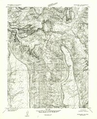
1952 · Navajo Mountain 4 NE
USGS Topo · 1:24,000
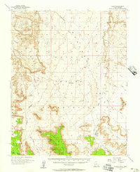
1952 · Oljeto
USGS Topo · 1:62,500
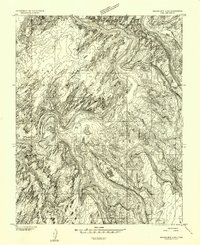
1953 · Navajo Mountain 4 NW
USGS Topo · 1:24,000
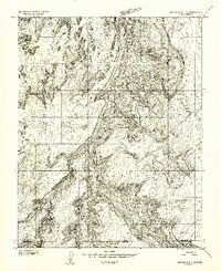
1953 · Navajo Mountain 4 SW
USGS Topo · 1:24,000
1953 · Lake Canyon
USGS Topo · 1:62,500