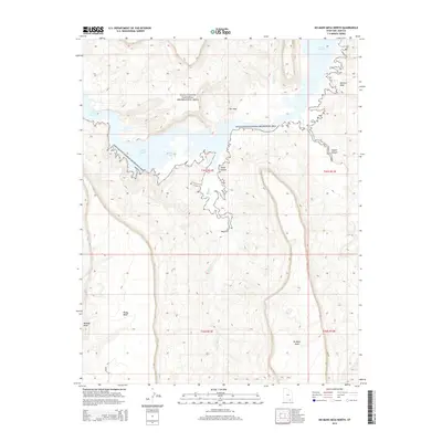
2014 Map of No Mans Mesa North
USGS Topo · Published 2014About this map
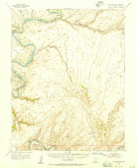
Lake Powell dominates the northern reaches of this Colorado Plateau landscape, its dendritic shoreline reaching deep into the canyons of San Juan County. Established as part of the Glen Canyon National Recreation Area, this region is defined by immense geological benches and drainage systems that feed the reservoir. The high tablelands of No Mans Mesa, Piute Mesa, and Monitor Mesa stand as prominent landmarks above the deeply incised Nokai Canyon and Copper Canyon. Remote access is limited to a few primitive routes like Windmill Rd, highlighting the isolation of these mesas. The map captures the complex interaction between rising water levels and the arid desert floor, specifically where Nokai Cr and Neskahi Wash meet the expanding bays, such as Zahn Bay, illustrating how the man-made lake transformed these ancient southwestern drainages.
Find a feature on this map
17 named features on this map. Tap any name to fly to it.
Don’t see what you’re looking for? This feature index may not catch every label — zoom into the map to look around manually.
Map Details
Editions of this 2014 No Mans Mesa North Map
This is the sole edition of this map. No revisions or reprints were ever made.
Other maps of this area

1886 · Henry Mountains
USGS Topo · 1:250,000

1892 · Henry Mountains
USGS Topo · 1:250,000
1952 · Clay Hills 3 SW
USGS Topo · 1:24,000
1952 · Clay Hills 3 NW
USGS Topo · 1:24,000
1952 · Navajo Mtn. 4 SE
USGS Topo · 1:24,000
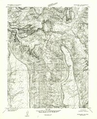
1952 · Navajo Mountain 4 NE
USGS Topo · 1:24,000
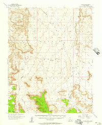
1952 · Oljeto
USGS Topo · 1:62,500
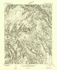
1953 · Navajo Mountain 4 NW
USGS Topo · 1:24,000
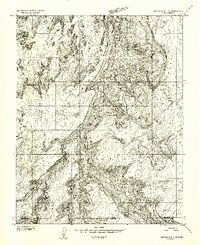
1953 · Navajo Mountain 4 SW
USGS Topo · 1:24,000
1953 · Lake Canyon
USGS Topo · 1:62,500