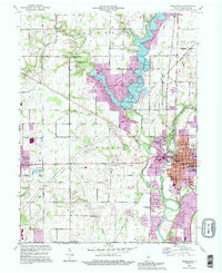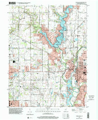
2022 Map of Noblesville
USGS Topo · Published 2022About this map
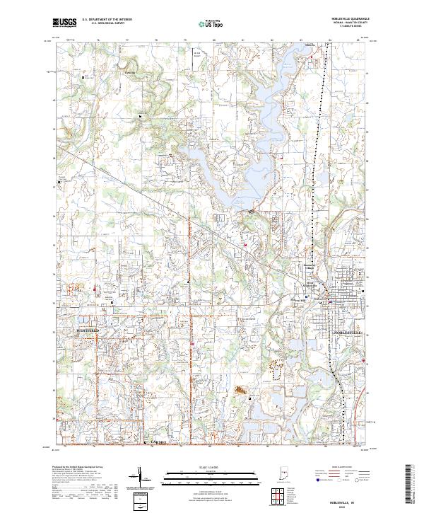
Noblesville stands as a central hub of government and commerce on this recent survey, with the Hamilton County Courthouse anchoring the town's historical center. The landscape is defined by the significant reach of the Morse Reservoir, which dominates the northern geography and influences local development near Cicero. To the south, the expansion of Carmel and Westfield is evident, connected by an evolving network of recreation and transport corridors such as the Midland Trace Trl and the Hazel Dell Trail Corridor Trl. Genealogists will find a wealth of data in the many preserved burial grounds throughout the area, including the central Crownland Cem, the rural Hinkle Cem, and the Gascho-Trissal Cem. The winding White River and its various tributaries like Hinkle Cr and Cool Cr continue to shape the natural boundaries between these growing Indiana communities.
Find a feature on this map
51 named features on this map. Tap any name to fly to it.
Don’t see what you’re looking for? This feature index may not catch every label — zoom into the map to look around manually.
Map Details
Editions of this 2022 Noblesville Map
This is the sole edition of this map. No revisions or reprints were ever made.
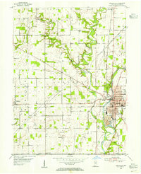
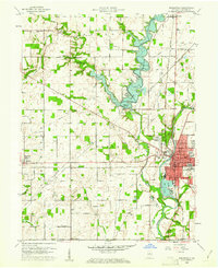
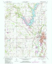
Historical Maps of Fishers Through Time
6 maps found