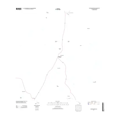
2013 Map of Nohonaohae
USGS Topo · Published 2013About this map
Saddle Road Junction serves as the primary transportation node in this high-elevation landscape on the Island of Hawai‘i. The area is defined by a series of prominent volcanic cinder cones, or pu‘u, including Nohonaohae, Nohonaohaeiki, and Puu Huluhulu. These geological features overlook a network of seasonal watercourses such as Kamakaoa Gulch and Kemole Gulch, which illustrate the drainage patterns from the surrounding volcanic slopes.
Find a feature on this map
19 named features on this map. Tap any name to fly to it.
Don’t see what you’re looking for? This feature index may not catch every label — zoom into the map to look around manually.
Map Details
Editions of this 2013 Nohonaohae Map
This is the sole edition of this map. No revisions or reprints were ever made.
Other maps of this area
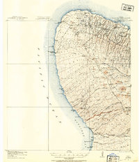
1913 · Kohala
USGS Topo · 1:62,500
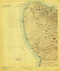
1916 · Kohala
USGS Topo · 1:62,500
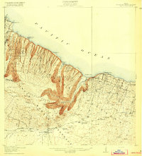
1916 · Waipio
USGS Topo · 1:62,500
1928 · Puako
USGS Topo · 1:62,500
1954 · Hawaii North
USGS Topo · 1:250,000
1956 · Puu Hinai
USGS Topo · 1:24,000
1956 · Kamuela
USGS Topo · 1:24,000
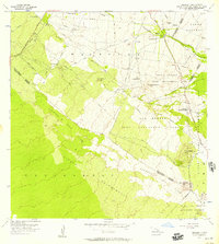
1956 · Keamuku
USGS Topo · 1:24,000
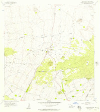
1956 · Nohonaohae
USGS Topo · 1:24,000
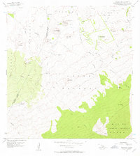
1956 · Makahalau
USGS Topo · 1:24,000