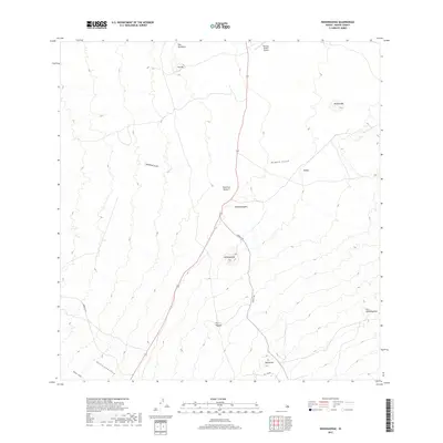
2017 Map of Nohonaohae
USGS Topo · Published 2017About this map
Waimea-Kohala Airport sits at the northern edge of this high-elevation landscape on the Island of Hawai'i, where the infrastructure of modern travel meets a terrain defined by ancient volcanic formations. The area is characterized by numerous cinder cones, or pu'u, including the prominent Nohonaohae and its smaller neighbor Nohonaohaeiki. These landforms dictate the passage of modern roads such as Saddle Rd and Waikoloa Rd, which navigate between the slopes of Puu Pa and Puu Papapa.
Find a feature on this map
18 named features on this map. Tap any name to fly to it.
Don’t see what you’re looking for? This feature index may not catch every label — zoom into the map to look around manually.
Map Details
Editions of this 2017 Nohonaohae Map
This is the sole edition of this map. No revisions or reprints were ever made.
Other maps of this area
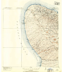
1913 · Kohala
USGS Topo · 1:62,500
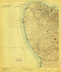
1916 · Kohala
USGS Topo · 1:62,500
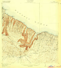
1916 · Waipio
USGS Topo · 1:62,500
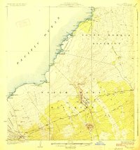
1928 · Puako
USGS Topo · 1:62,500
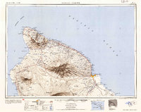
1954 · Hawaii North
USGS Topo · 1:250,000
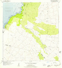
1956 · Puu Hinai
USGS Topo · 1:24,000
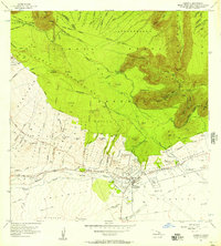
1956 · Kamuela
USGS Topo · 1:24,000
1956 · Keamuku
USGS Topo · 1:24,000
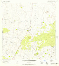
1956 · Nohonaohae
USGS Topo · 1:24,000
1956 · Makahalau
USGS Topo · 1:24,000