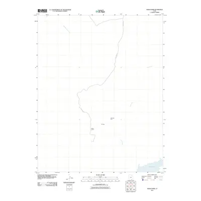
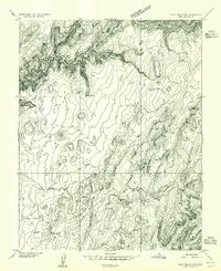
2011 Map of Nokai Dome
USGS Topo · Published 2011About this map
Lake Powell touches the southeastern corner of this arid landscape, a region defined by dramatic vertical relief and sparse access. The Nokai Dome Rd serves as the primary artery through this high-desert terrain, winding southward toward the prominent geologic landmark of Nokai Dome. This survey reveals the intricate drainage patterns of Castle Creek and the East Fork Lake Canyon, which carve through the plateau. Small, specific points of interest like Johnnies Hole and the stepped topographical feature known as The Step provide localized orientation in an area otherwise dominated by the scale of the Colorado River basin's canyon systems. The map illustrates a modern era of backcountry navigation where remote desert landmarks remain essential for orientation.
Find a feature on this map
7 named features on this map. Tap any name to fly to it.
Don’t see what you’re looking for? This feature index may not catch every label — zoom into the map to look around manually.
Map Details
Editions of this 2011 Nokai Dome Map
This is the sole edition of this map. No revisions or reprints were ever made.
Other maps of this area

1886 · Henry Mountains
USGS Topo · 1:250,000

1892 · Henry Mountains
USGS Topo · 1:250,000
1952 · Clay Hills 3 NW
USGS Topo · 1:24,000
1952 · Navajo Mountain 4 NE
USGS Topo · 1:24,000
1952 · Oljeto
USGS Topo · 1:62,500
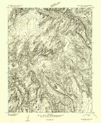
1953 · Navajo Mountain 4 NW
USGS Topo · 1:24,000
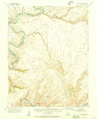
1953 · Lake Canyon
USGS Topo · 1:62,500
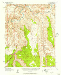
1953 · No Mans Mesa
USGS Topo · 1:62,500
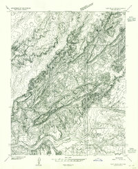
1954 · Clay Hills 2 SW
USGS Topo · 1:24,000
1954 · Clay Hills 2 NW
USGS Topo · 1:24,000