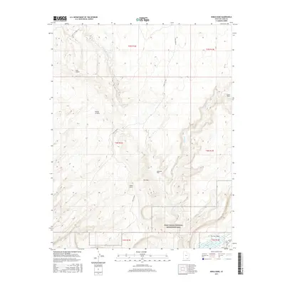
2017 Map of Nokai Dome
USGS Topo · Published 2017About this map
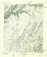
The Hole In The Rock Trail traverses the northwestern portion of this terrain, following a historic path through the high desert of San Juan County. The landscape is defined by deep incisions and prominent plateaus, most notably the elevated Nokai Dome and the intricate drainage systems of Lake Canyon and Castle Wash. These geological features represent the complex erosion patterns typical of the Colorado Plateau, where water courses like the E Fork Lake Canyon have carved permanent marks into the stone.
Find a feature on this map
19 named features on this map. Tap any name to fly to it.
Don’t see what you’re looking for? This feature index may not catch every label — zoom into the map to look around manually.
Map Details
Editions of this 2017 Nokai Dome Map
This is the sole edition of this map. No revisions or reprints were ever made.
Other maps of this area

1886 · Henry Mountains
USGS Topo · 1:250,000

1892 · Henry Mountains
USGS Topo · 1:250,000
1952 · Clay Hills 3 NW
USGS Topo · 1:24,000
1952 · Navajo Mountain 4 NE
USGS Topo · 1:24,000
1952 · Oljeto
USGS Topo · 1:62,500
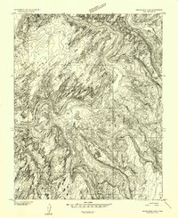
1953 · Navajo Mountain 4 NW
USGS Topo · 1:24,000
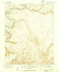
1953 · Lake Canyon
USGS Topo · 1:62,500
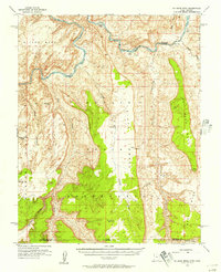
1953 · No Mans Mesa
USGS Topo · 1:62,500
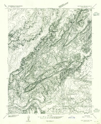
1954 · Clay Hills 2 SW
USGS Topo · 1:24,000
1954 · Clay Hills 2 NW
USGS Topo · 1:24,000