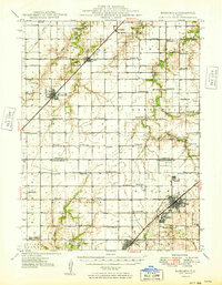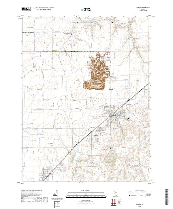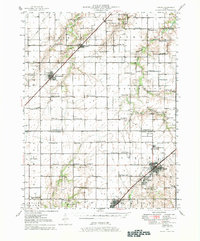
1946 Map of Nokomis
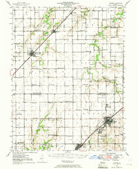
USGS Topo · Published 1982About this map
Nokomis and Coalton serve as the primary hubs in this mid-century portrait of the Illinois prairie. The landscape is defined by a dense network of rural one-room schools, including Hazel Green Sch, Sassafras Sch, and Prosperity Sch, illustrating the dispersed educational infrastructure before consolidation. The Christian and Montgomery County line bisects the territory, where the Wabash and New York Central railroads dictate the placement of towns like Morrisonville and Witt. Significant local landmarks such as Mound Chapel and the Gopher Hills rise above the drainage systems of Bear Creek and Shoal Creek, while numerous cemeteries like Kettlecamp Cem and Antioch Cem provide essential data points for genealogical research in this agricultural heartland.
Find a feature on this map
76 named features on this map. Tap any name to fly to it.
Don’t see what you’re looking for? This feature index may not catch every label — zoom into the map to look around manually.
Map Details
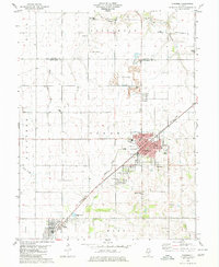
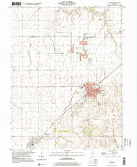
Editions of this 1946 Nokomis Map
2 editions found
Historical Maps of Taylorville Through Time
9 maps found