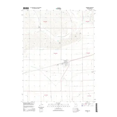
2015 Map of Norborne
USGS Topo · Published 2015About this map
Norborne serves as the central hub of this Carroll County landscape, situated where the Missouri prairie meets a complex system of waterways. The town's grid is detailed with street names like S Pine St and Park St, revealing the residential and commercial layout of this rural community. The surrounding countryside is heavily defined by its drainage and hydrology, featuring the Norborne Drainage Ditch, Booker Slough, and the winding path of Wakenda Cr. Genealogists will find significant value in the numerous burial grounds documented across the townships, including Providence Cemetery, German Cemetery, and Fairhaven Cemetery. The land south of the settlement transitions into the fertile bottomlands of Moss Cr, while the northern hills are punctuated by smaller tributaries like Turkey Cr and the W Fork Wakenda Cr.
Find a feature on this map
46 named features on this map. Tap any name to fly to it.
Don’t see what you’re looking for? This feature index may not catch every label — zoom into the map to look around manually.
Map Details
Editions of this 2015 Norborne Map
This is the sole edition of this map. No revisions or reprints were ever made.
Other maps of this area
1889 · Lexington
USGS Topo · 1:125,000
1949 · Lexington East
USGS Topo · 1:24,000
1950 · Lexington East
USGS Topo · 1:24,000
1950 · Dover
USGS Topo · 1:24,000
1951 · Dover
USGS Topo · 1:24,000
1951 · Waverly
USGS Topo · 1:24,000
1953 · Moberly
USGS Topo · 1:250,000
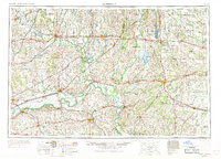
1954 · Moberly
USGS Topo · 1:250,000
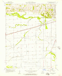
1956 · Carrollton West
USGS Topo · 1:24,000
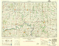
1957 · Moberly
USGS Topo · 1:250,000