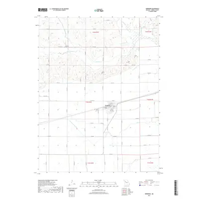
2017 Map of Norborne
USGS Topo · Published 2017About this map
Norborne sits at the heart of this Carroll County landscape, serving as a hub for the surrounding agricultural plains. The town's grid is flanked by the Fairhaven Cem to the west, while the broader countryside is marked by several denominational and community burial grounds including the Providence Cem, German Cem, and Lutheran Cem. These sites, along with the Cloudis Cem, offer significant points of interest for genealogists tracing local family histories in this part of Missouri.
Find a feature on this map
73 named features on this map. Tap any name to fly to it.
Don’t see what you’re looking for? This feature index may not catch every label — zoom into the map to look around manually.
Map Details
Editions of this 2017 Norborne Map
This is the sole edition of this map. No revisions or reprints were ever made.
Other maps of this area
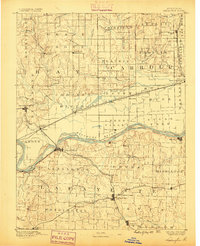
1889 · Lexington
USGS Topo · 1:125,000
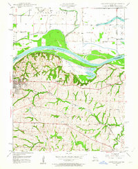
1949 · Lexington East
USGS Topo · 1:24,000
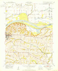
1950 · Lexington East
USGS Topo · 1:24,000
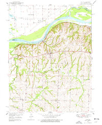
1950 · Dover
USGS Topo · 1:24,000
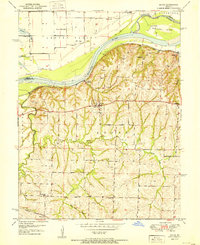
1951 · Dover
USGS Topo · 1:24,000
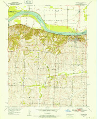
1951 · Waverly
USGS Topo · 1:24,000
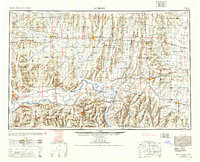
1953 · Moberly
USGS Topo · 1:250,000
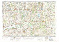
1954 · Moberly
USGS Topo · 1:250,000
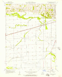
1956 · Carrollton West
USGS Topo · 1:24,000
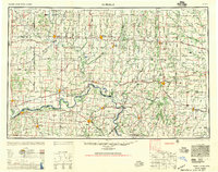
1957 · Moberly
USGS Topo · 1:250,000