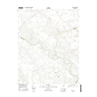
2016 Map of Norfleet
USGS Topo · Published 2016About this map
The Roanoke River snakes through the lowlands of northeastern North Carolina, defining the boundaries where Northampton, Halifax, and Bertie counties meet. The landscape is heavily characterized by extensive wetlands and drainage systems, including the massive Bull Neck Swamp, Quinine Swamp, and Kehukee Swamp. The settlement of Roxobel sits on the higher ground to the east, while the community of Norfleet and the Ventosa Plantation Airport occupy the flatlands near the river's edge.
Find a feature on this map
39 named features on this map. Tap any name to fly to it.
Don’t see what you’re looking for? This feature index may not catch every label — zoom into the map to look around manually.
Map Details
Editions of this 2016 Norfleet Map
This is the sole edition of this map. No revisions or reprints were ever made.
Other maps of this area
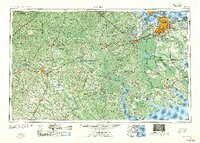
1953 · Norfolk
USGS Topo · 1:250,000
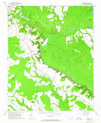
1962 · Palmyra
USGS Topo · 1:24,000
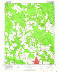
1962 · Scotland Neck
USGS Topo · 1:24,000
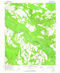
1962 · Norfleet
USGS Topo · 1:24,000
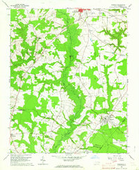
1962 · Hobgood
USGS Topo · 1:24,000
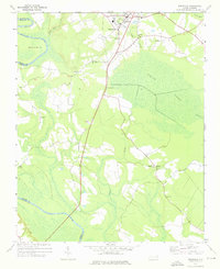
1972 · Woodville
USGS Topo · 1:24,000
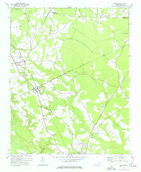
1973 · Kelford
USGS Topo · 1:24,000
1974 · Boones Crossroads
USGS Topo · 1:24,000
1974 · Rich Square
USGS Topo · 1:24,000
1977 · Woodland
USGS Topo · 1:24,000