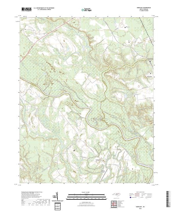
2022 Map of Norfleet
USGS Topo · Published 2022About this map
The Roanoke River carves a winding path through this region, forming the natural border between Northampton, Halifax, and Bertie counties. Low-lying wetlands like Bull Neck Swamp, Quinine Swamp, and Cypress Swamp dominate the bottomlands, reflecting the complex drainage patterns that have historically shaped local agriculture and settlement. Higher ground to the northeast supports the town of Roxobel, where community life is anchored by landmarks such as the Sandy Branch Baptist Church and several family burial grounds, including the Barden Cem and Rea Cemeteries.
Find a feature on this map
39 named features on this map. Tap any name to fly to it.
Don’t see what you’re looking for? This feature index may not catch every label — zoom into the map to look around manually.
Map Details
Editions of this 2022 Norfleet Map
This is the sole edition of this map. No revisions or reprints were ever made.
Other maps of this area

1953 · Norfolk
USGS Topo · 1:250,000

1962 · Palmyra
USGS Topo · 1:24,000

1962 · Scotland Neck
USGS Topo · 1:24,000

1962 · Norfleet
USGS Topo · 1:24,000

1962 · Hobgood
USGS Topo · 1:24,000

1972 · Woodville
USGS Topo · 1:24,000

1973 · Kelford
USGS Topo · 1:24,000

1974 · Boones Crossroads
USGS Topo · 1:24,000

1974 · Rich Square
USGS Topo · 1:24,000

1977 · Woodland
USGS Topo · 1:24,000