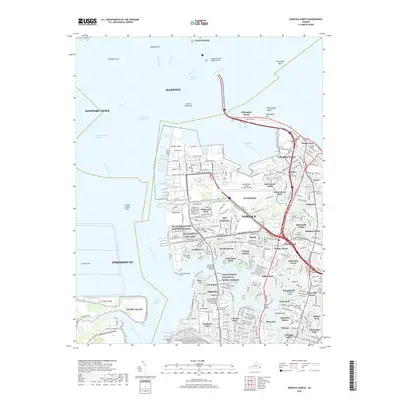
2019 Map of Norfolk North
USGS Topo · Published 2019About this map
NS Norfolk and the sprawling Norfolk Naval Station (Chambers Field) anchor the northern tip of the peninsula, dominating a landscape defined by its strategic position at the confluence of the James River, Elizabeth River, and Willoughby Bay. This modern coastal geography reveals a complex urban and military corridor, where residential neighborhoods like Lochhaven, Meadowbrook, and Larchmont are interwoven with academic and defense institutions, including Old Dominion University and the NSA Norfolk facilities.
Find a feature on this map
83 named features on this map. Tap any name to fly to it.
Don’t see what you’re looking for? This feature index may not catch every label — zoom into the map to look around manually.
Map Details
Editions of this 2019 Norfolk North Map
This is the sole edition of this map. No revisions or reprints were ever made.
Other maps of this area

1907 · Norfolk
USGS Topo · 1:125,000

1907 · Hampton
USGS Topo · 1:62,500

1918 · Cape Henry
USGS Topo · 1:62,500

1919 · Cape Henry
USGS Topo · 1:62,500

1921 · Newport News
USGS Topo · 1:62,500

1943 · Richmond
USGS Topo · 1:250,000

1944 · Hampton
USGS Topo · 1:24,000

1944 · Morrison
USGS Topo · 1:24,000

1944 · Norfolk South
USGS Topo · 1:25,000

1948 · Norfolk South
USGS Topo · 1:24,000