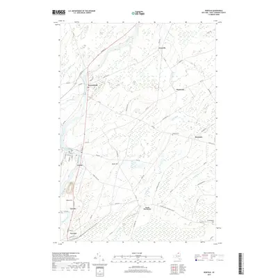
2019 Map of Norfolk
USGS Topo · Published 2019About this map
The Raquette River carves a winding path through this portion of Saint Lawrence County, anchoring a series of small riverside communities from Norwood and Yaleville in the south to Norfolk and Raymondville further downstream. The landscape is defined by the subtle elevations of Marble Hill and Wilbur Hill, which rise between the river valley and the wetlands drained by Plum Brook and Squeak Brook. This late-2010s survey reflects a region where traditional settlement patterns remain visible in the placement of the Brookdale Cem and the small hamlets of Brookdale, Plumbrook, and North Stockholm. Local infrastructure is marked by a dense network of county and residential roads, including Co RD 38 and Co RD 17, which connect these historically distinct rural centers.
Find a feature on this map
66 named features on this map. Tap any name to fly to it.
Don’t see what you’re looking for? This feature index may not catch every label — zoom into the map to look around manually.
Map Details
Editions of this 2019 Norfolk Map
This is the sole edition of this map. No revisions or reprints were ever made.
Other maps of this area

1905 · Waddington
USGS Topo · 1:62,500

1906 · Massena
USGS Topo · 1:62,500

1907 · Massena
USGS Topo · 1:62,500

1908 · Potsdam
USGS Topo · 1:62,500

1910 · Canton
USGS Topo · 1:62,500

1911 · Canton
USGS Topo · 1:62,500

1942 · Chase Mills
USGS Topo · 1:24,000

1942 · Norfolk
USGS Topo · 1:24,000

1942 · Massena
USGS Topo · 1:24,000

1943 · Potsdam
USGS Topo · 1:31,680