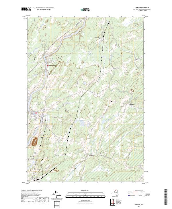
2023 Map of Norfolk
USGS Topo · Published 2023About this map
The Raquette River winds through the heart of northern St. Lawrence County, anchoring the riverside settlements of Norfolk, Raymondville, and Yaleville. This 2023 survey illustrates a landscape defined by traditional North Country hamlet patterns and modern recreational uses, including the Raymondville Ski Trail. Away from the main river corridor, the terrain rises toward Marble Hill and Wilbur Hill, where a network of rural routes like Co RD 38 and Old Market RD connect smaller communities such as Brookdale and North Stockholm. Genealogists will find the Brookdale Cem positioned near the banks of Plum Brook, which drains the eastern portion of the quadrangle. The map reveals the persistent structure of these small villages, where grid-patterned streets like Clinton ST and Morris ST in Norfolk transition quickly into the surrounding agricultural and wooded hillsides.
Find a feature on this map
67 named features on this map. Tap any name to fly to it.
Don’t see what you’re looking for? This feature index may not catch every label — zoom into the map to look around manually.
Map Details
Editions of this 2023 Norfolk Map
This is the sole edition of this map. No revisions or reprints were ever made.
Other maps of this area

1905 · Waddington
USGS Topo · 1:62,500

1906 · Massena
USGS Topo · 1:62,500

1907 · Massena
USGS Topo · 1:62,500

1908 · Potsdam
USGS Topo · 1:62,500

1910 · Canton
USGS Topo · 1:62,500

1911 · Canton
USGS Topo · 1:62,500

1942 · Chase Mills
USGS Topo · 1:24,000

1942 · Norfolk
USGS Topo · 1:24,000

1942 · Massena
USGS Topo · 1:24,000

1943 · Potsdam
USGS Topo · 1:31,680