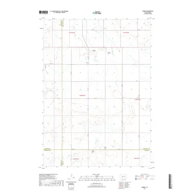
2017 Map of Norris
USGS Topo · Published 2017About this map
Norris serves as the primary hub of this landscape, situated near the confluence of several section-line roads in the northern portion of the quadrangle. The terrain is defined by the winding course of Black Pipe Cr, which meanders through the central and southern reaches of the map, carving a drainage pattern through the prairie. This 2017 survey reflects the modern agricultural and ranching layout of the region, where the vast majority of the land is partitioned by the Public Land Survey System into clearly defined sections. The map detail highlights the sparse but critical infrastructure of this South Dakota interior, where isolated settlements like Norris provide the essential focal points for a widely dispersed rural population.
Find a feature on this map
2 named features on this map. Tap any name to fly to it.
Don’t see what you’re looking for? This feature index may not catch every label — zoom into the map to look around manually.
Map Details
Editions of this 2017 Norris Map
This is the sole edition of this map. No revisions or reprints were ever made.
Other maps of this area

1955 · Martin
USGS Topo · 1:250,000

1958 · Martin
USGS Topo · 1:250,000

1969 · Norris
USGS Topo · 1:24,000

1969 · Eagle Mans Butte
USGS Topo · 1:24,000

1969 · Parmelee NE
USGS Topo · 1:24,000

1969 · Parmelee
USGS Topo · 1:24,000

1980 · Kadoka
USGS Topo · 1:100,000

1981 · Cedar Butte
USGS Topo · 1:25,000

1981 · Long Valley
USGS Topo · 1:25,000

1981 · Blackpipe
USGS Topo · 1:25,000