2021 Map of Norris
USGS Topo · Published 2021About this map
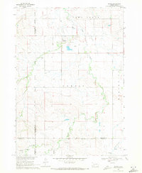
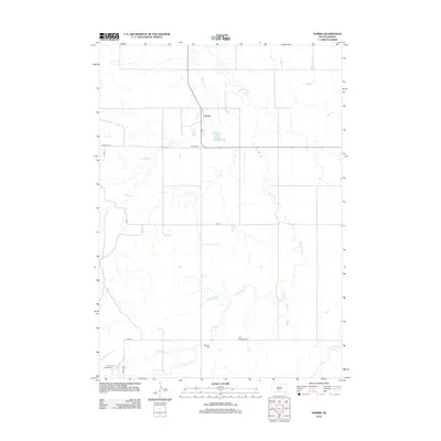
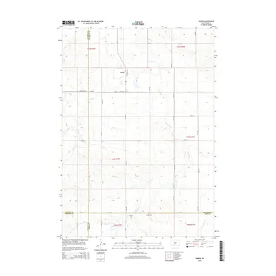
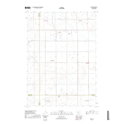
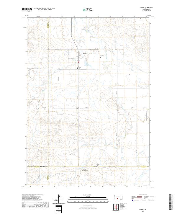
Norris serves as the central community of this prairie landscape, situated near the intersection of several county roads in Mellette County. This modern survey illustrates a region defined by its seasonal watercourses and widely dispersed cultural landmarks. Notable for genealogists and local historians are the numerous burial grounds marking the area, including the Norris Cem, Sacred Heart Cem, and the Red Leaf Tiospaye Cem further south. The topography is shaped by the drainage patterns of Black Pipe Cr and Dry Cr, which carve through the plains. The map also delineates the meeting of four counties—Mellette, Todd, Bennett, and Jackson—providing a clear view of jurisdictional boundaries that intersect near the Poor Thunder Cem.
Find a feature on this map
33 named features on this map. Tap any name to fly to it.
Don’t see what you’re looking for? This feature index may not catch every label — zoom into the map to look around manually.
Map Details
Editions of this 2021 Norris Map
This is the sole edition of this map. No revisions or reprints were ever made.
Historical Maps of Martin Through Time
5 maps found