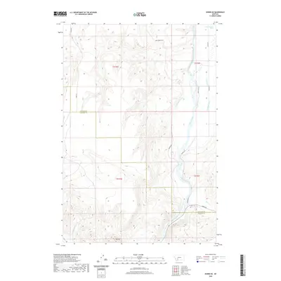
2020 Map of Norris NE
USGS Topo · Published 2020About this map
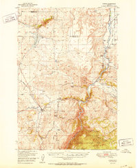
The Madison River dominates this portion of southwestern Montana, carving a path through the valley where the Gallatin Co Madison Co line meets. This landscape is defined by an extensive network of irrigation infrastructure essential to the region's agricultural history, including the Sloan Ditch, Nobles Ditch, and Greene Ranch Ditch. These waterways parallel the river, illustrating the complex management of water resources in the high plains.
Find a feature on this map
22 named features on this map. Tap any name to fly to it.
Don’t see what you’re looking for? This feature index may not catch every label — zoom into the map to look around manually.
Map Details
Editions of this 2020 Norris NE Map
This is the sole edition of this map. No revisions or reprints were ever made.
Other maps of this area
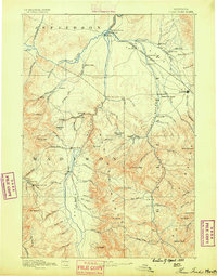
1888 · Three Forks
USGS Topo · 1:250,000
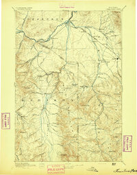
1894 · Three Forks
USGS Topo · 1:250,000
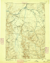
1895 · Three Forks
USGS Topo · 1:250,000

1947 · Bozeman
USGS Topo · 1:250,000

1948 · Bozeman
USGS Topo · 1:250,000
1949 · Anceney
USGS Topo · 1:62,500
1949 · Manhattan
USGS Topo · 1:62,500
1949 · Norris
USGS Topo · 1:62,500
1950 · Three Forks
USGS Topo · 1:62,500
1951 · Norris
USGS Topo · 1:62,500