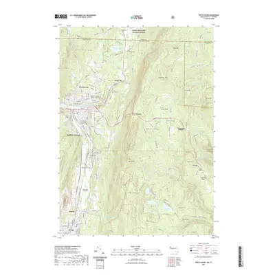
2021 Map of North Adams
USGS Topo · Published 2021About this map
North Adams and the surrounding mountain ranges anchor this detailed study of the northern Berkshires near the Vermont border. The city sits at the confluence of the North Branch Hoosic River and the main Hoosic River, surrounded by industrial-era settlements like Zylonite, Renfrew, and Houghtonville. Notable for its cultural and educational landmarks, the area features the Massachusetts College of Liberal Arts and the geological curiosity of the Natural Bridge of New England.
Find a feature on this map
171 named features on this map. Tap any name to fly to it.
Don’t see what you’re looking for? This feature index may not catch every label — zoom into the map to look around manually.
Map Details
Editions of this 2021 North Adams Map
This is the sole edition of this map. No revisions or reprints were ever made.
Other maps of this area

1886 · Greylock
USGS Topo · 1:62,500

1886 · Hawley
USGS Topo · 1:62,500

1889 · Wilmington
USGS Topo · 1:62,500

1890 · Hawley
USGS Topo · 1:62,500

1891 · Wilmington
USGS Topo · 1:62,500

1891 · Greylock
USGS Topo · 1:62,500

1893 · Greylock
USGS Topo · 1:62,500

1894 · Hawley
USGS Topo · 1:62,500

1898 · Bennington
USGS Topo · 1:62,500

1898 · Greylock
USGS Topo · 1:62,500