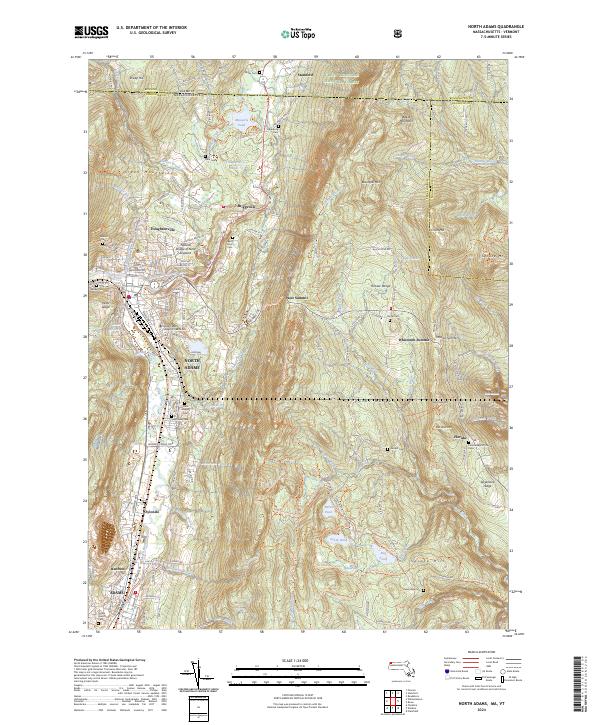
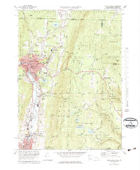
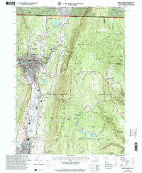
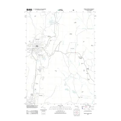
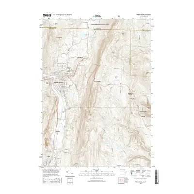
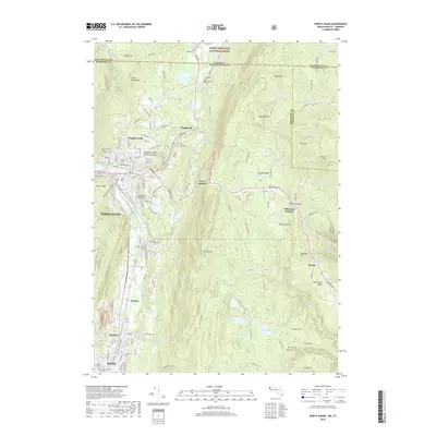
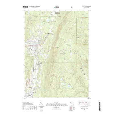
2024 Map of North Adams
USGS Topo · Published 2024About this map
North Adams and the surrounding industrial valley are defined by the Hoosic River and its North Branch, where the city developed into a major regional hub. The geography is dominated by the Hoosac Range to the east and the southern reaches of the Green Mountain National Forest to the north, creating a landscape where settlement is tightly concentrated along the river corridor. This modern survey shows the continued presence of early industrial-era neighborhoods like Zylonite and Renfrew, alongside institutional landmarks such as the Massachusetts College of Liberal Arts.
Find a feature on this map
144 named features on this map. Tap any name to fly to it.
Don’t see what you’re looking for? This feature index may not catch every label — zoom into the map to look around manually.
Map Details
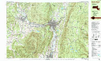
Editions of this 2024 North Adams Map
This is the sole edition of this map. No revisions or reprints were ever made.
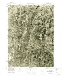
Historical Maps of North Adams Through Time
13 maps found

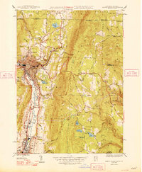
1944 North Adams
Berkshire County, MA
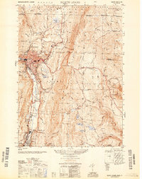
1948 North Adams
Berkshire County, MA
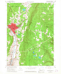
1950 North Adams
Berkshire County, MA
1960 North Adams
Berkshire County, MA
1973 North Adams
Berkshire County, MA
1975 North Adams
Berkshire County, MA
1988 North Adams
Berkshire County, MA
1997 North Adams
Berkshire County, MA
2012 North Adams
Berkshire County, MA
2015 North Adams
Berkshire County, MA
2018 North Adams
Berkshire County, MA
2021 North Adams
Berkshire County, MA
2024 North Adams
Berkshire County, MA