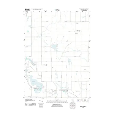
2011 Map of North Adams
USGS Topo · Published 2011About this map
Hillsdale and the surrounding township lands define this portion of southern Michigan, where the waters of the Saint Joseph River and the South Branch Kalamazoo River emerge from a landscape shaped by glacial activity. The area is characterized by a dense concentration of kettle lakes and wetlands, most notably the chain including First Lake, Second Lake, Third Lake, and the expansive Baw Beese Lake. These water bodies provided the foundation for local recreation and early industry, evidenced by the Mill Pond and the Six Lakes Campground.
Find a feature on this map
95 named features on this map. Tap any name to fly to it.
Don’t see what you’re looking for? This feature index may not catch every label — zoom into the map to look around manually.
Map Details
Editions of this 2011 North Adams Map
This is the sole edition of this map. No revisions or reprints were ever made.
Other maps of this area

1935 · Jackson
USGS Topo · 1:48,000

1939 · Jackson
USGS Topo · 1:62,500

1948 · Spring Arbor
USGS Topo · 1:62,500

1949 · Spring Arbor
USGS Topo · 1:62,500

1953 · Fort Wayne
USGS Topo · 1:250,000

1956 · Fort Wayne
USGS Topo · 1:250,000

1958 · Grand Rapids
USGS Topo · 1:250,000

1959 · Hillsdale
USGS Topo · 1:24,000

1959 · Reading
USGS Topo · 1:24,000

1959 · North Adams
USGS Topo · 1:24,000