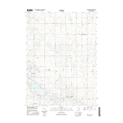
2017 Map of North Adams
USGS Topo · Published 2017About this map
Hillsdale and the village of North Adams anchor this portion of Hillsdale County, where the landscape transitions between the headwaters of two major river systems. The Saint Joseph River and its eastern branch wind through the southern sections, feeding into substantial water bodies like Baw Beese Lake, while the S Br Kalamazoo River emerges in the northeast. This hydrographic divide influenced the local development of transport and aviation, notably the Hillsdale Municipal Airport situated between the primary settlements.
Find a feature on this map
111 named features on this map. Tap any name to fly to it.
Don’t see what you’re looking for? This feature index may not catch every label — zoom into the map to look around manually.
Map Details
Editions of this 2017 North Adams Map
This is the sole edition of this map. No revisions or reprints were ever made.
Other maps of this area
1935 · Jackson
USGS Topo · 1:48,000
1939 · Jackson
USGS Topo · 1:62,500
1948 · Spring Arbor
USGS Topo · 1:62,500
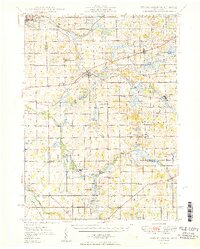
1949 · Spring Arbor
USGS Topo · 1:62,500
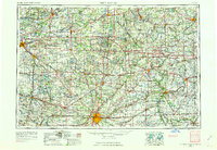
1953 · Fort Wayne
USGS Topo · 1:250,000
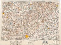
1956 · Fort Wayne
USGS Topo · 1:250,000
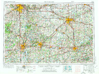
1958 · Grand Rapids
USGS Topo · 1:250,000
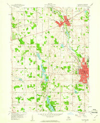
1959 · Hillsdale
USGS Topo · 1:24,000
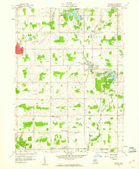
1959 · Reading
USGS Topo · 1:24,000
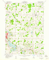
1959 · North Adams
USGS Topo · 1:24,000