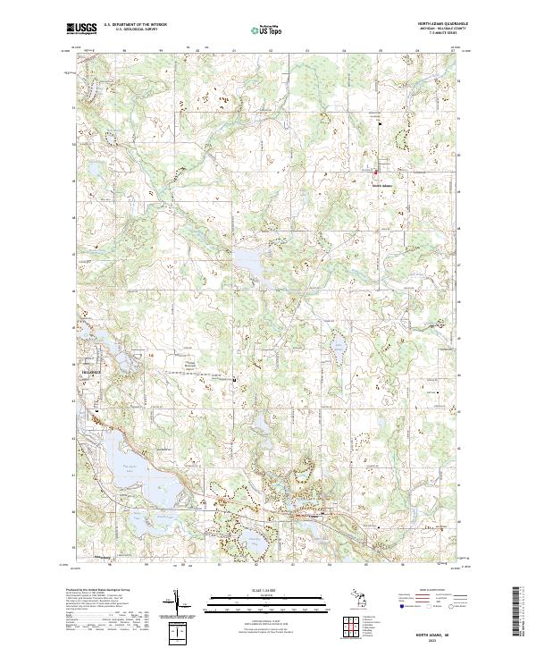
2023 Map of North Adams
USGS Topo · Published 2023About this map
The South Branch Kalamazoo River and the East Branch Saint Joseph River both rise from the glacial terrain of Hillsdale County, defining the drainage patterns around North Adams. This modern topographic survey illustrates the transition from the eastern edge of Hillsdale, including the Hillsdale Municipal Airport, to the small rural centers of Osseo and North Adams. The landscape is characterized by numerous small basins and glacial kettles, now occupied by named water bodies such as Baw Beese Lake, Boot Lake, and Buck Lake. Local heritage is well-preserved in the placement of several burial grounds, including Northlawn Cem, Mount Pleasant Cem, and East Hill Cem. The map provides a current perspective on how local roads like E Chicago Rd and Hudson Rd navigate the wetlands and lakes that have shaped the county's development for generations.
Find a feature on this map
72 named features on this map. Tap any name to fly to it.
Don’t see what you’re looking for? This feature index may not catch every label — zoom into the map to look around manually.
Map Details
Editions of this 2023 North Adams Map
This is the sole edition of this map. No revisions or reprints were ever made.
Other maps of this area

1935 · Jackson
USGS Topo · 1:48,000

1939 · Jackson
USGS Topo · 1:62,500

1948 · Spring Arbor
USGS Topo · 1:62,500

1949 · Spring Arbor
USGS Topo · 1:62,500

1953 · Fort Wayne
USGS Topo · 1:250,000

1956 · Fort Wayne
USGS Topo · 1:250,000

1958 · Grand Rapids
USGS Topo · 1:250,000

1959 · Hillsdale
USGS Topo · 1:24,000

1959 · Reading
USGS Topo · 1:24,000

1959 · North Adams
USGS Topo · 1:24,000