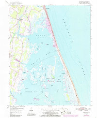
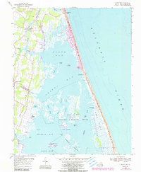
1953 Map of North Bay
USGS Topo · Published 1986About this map
Back Bay National Wildlife Refuge dominates the landscape in this 1953 survey, which documents the intricate marshlands and barrier island environment of Virginia’s coastline. Small clusters of coastal habitation appear at Sigma, Tabernacle, and Dawley Corners, while the maritime importance of the area is highlighted by the presence of the Little Island Coast Guard Station and several Observation Towers. The topography captures the fragile boundary between the Atlantic Ocean and the sheltered waters of North Bay, Shipps Bay, and Redhead Bay.
Find a feature on this map
45 named features on this map. Tap any name to fly to it.
Don’t see what you’re looking for? This feature index may not catch every label — zoom into the map to look around manually.
Map Details
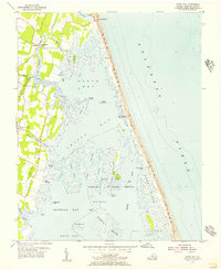
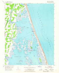
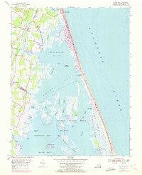
Editions of this 1953 North Bay Map
5 editions found
Other maps of this area

1893 · Virginia Beach
USGS Topo · 1:125,000

1907 · Norfolk
USGS Topo · 1:125,000

1916 · Back Bay
USGS Topo · 1:62,500

1918 · Cape Henry
USGS Topo · 1:62,500

1919 · Cape Henry
USGS Topo · 1:62,500

1939 · Moyock
USGS Topo · 1:62,500

1943 · Back Bay
USGS Topo · 1:62,500

1946 · Moyock
USGS Topo · 1:62,500

1946 · Eastville
USGS Topo · 1:250,000

1946 · Currituck Sound
USGS Topo · 1:250,000