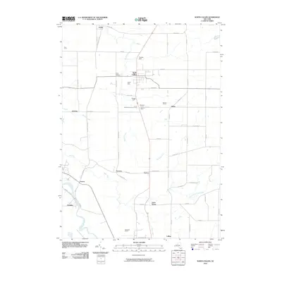
2010 Map of North Collins
USGS Topo · Published 2010About this map
Cattaraugus Creek winds along the southwestern boundary of this Erie County landscape, where the agricultural traditions of Western New York are clearly preserved. Small agricultural operations like Awalds Berry Farm and Stonehill Orchard are interspersed with residential hubs like North Collins and Lawtons. The map reveals a high density of sites significant to local genealogy and religious history, including the Friends Meetinghouse Burial Grounds and the Huson Family Cemetery.
Find a feature on this map
65 named features on this map. Tap any name to fly to it.
Don’t see what you’re looking for? This feature index may not catch every label — zoom into the map to look around manually.
Map Details
Editions of this 2010 North Collins Map
This is the sole edition of this map. No revisions or reprints were ever made.
Other maps of this area

1899 · Silver Creek
USGS Topo · 1:62,500

1900 · Cherry Creek
USGS Topo · 1:62,500

1905 · Eden
USGS Topo · 1:62,500

1907 · Eden
USGS Topo · 1:62,500

1923 · Cattaraugus
USGS Topo · 1:62,500

1938 · Cattaraugus
USGS Topo · 1:62,500

1941 · Cattaraugus
USGS Topo · 1:62,500

1941 · Cherry Creek
USGS Topo · 1:62,500

1944 · Eden
USGS Topo · 1:62,500

1944 · North Collins
USGS Topo · 1:31,680