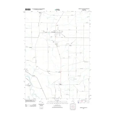
2013 Map of North Collins
USGS Topo · Published 2013About this map
The agricultural landscape of Erie County is captured here in the early 21st century, centered on the village of North Collins. The map reveals a tapestry of family-owned lands and orchards, such as Stonehill Orchard, Awalds Berry Farm, and Farner Farms, illustrating the region's enduring farming legacy. Small hamlets like Lawtons, Pontiac, and Shirley are connected by a grid of rural roads, including the historically named Versailles Plank Rd.
Find a feature on this map
82 named features on this map. Tap any name to fly to it.
Don’t see what you’re looking for? This feature index may not catch every label — zoom into the map to look around manually.
Map Details
Editions of this 2013 North Collins Map
This is the sole edition of this map. No revisions or reprints were ever made.
Other maps of this area

1899 · Silver Creek
USGS Topo · 1:62,500

1900 · Cherry Creek
USGS Topo · 1:62,500

1905 · Eden
USGS Topo · 1:62,500

1907 · Eden
USGS Topo · 1:62,500

1923 · Cattaraugus
USGS Topo · 1:62,500

1938 · Cattaraugus
USGS Topo · 1:62,500

1941 · Cattaraugus
USGS Topo · 1:62,500

1941 · Cherry Creek
USGS Topo · 1:62,500

1944 · Eden
USGS Topo · 1:62,500

1944 · North Collins
USGS Topo · 1:31,680