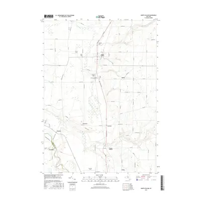
2016 Map of North Collins
USGS Topo · Published 2016About this map
North Collins serves as the primary hub of this landscape, situated at the intersection of a well-defined road network including S State Rd and Langford Rd. The area is characterized by a series of distinct geographic depressions and settlements, such as Franklin Gulf and Hussey Gulf, which indicate the complex drainage patterns feeding into Big Sister Cr and Clear Cr. Cultural and genealogical history is preserved in several significant sites, notably the Friends Meetinghouse Burial Grounds and the Huson Family Cem. To the southwest, the boundary between Erie Co and Cattaraugus Co follows the winding path of Cattaraugus Creek near the village of Versailles. The transition from the developed corridor around North Collins to the rural expanses of Taylor Hollow and Shirley reveals the enduring agricultural and residential character of this part of New York.
Find a feature on this map
81 named features on this map. Tap any name to fly to it.
Don’t see what you’re looking for? This feature index may not catch every label — zoom into the map to look around manually.
Map Details
Editions of this 2016 North Collins Map
This is the sole edition of this map. No revisions or reprints were ever made.
Other maps of this area

1899 · Silver Creek
USGS Topo · 1:62,500

1900 · Cherry Creek
USGS Topo · 1:62,500

1905 · Eden
USGS Topo · 1:62,500

1907 · Eden
USGS Topo · 1:62,500

1923 · Cattaraugus
USGS Topo · 1:62,500

1938 · Cattaraugus
USGS Topo · 1:62,500

1941 · Cattaraugus
USGS Topo · 1:62,500

1941 · Cherry Creek
USGS Topo · 1:62,500

1944 · Eden
USGS Topo · 1:62,500

1944 · North Collins
USGS Topo · 1:31,680