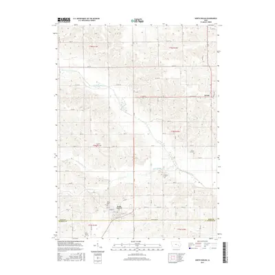
2015 Map of North English
USGS Topo · Published 2015About this map
North English and Parnell anchor this agricultural landscape along the border of Iowa and Keokuk Counties. The North English River and Middle English River define the local topography, carving shallow valleys through the gridded section lines of the Public Land Survey System. The map preserves the locations of several burial grounds essential for genealogical research, including Campbell Cem, Yankee Point Cem, and Clothier Cem. South of the town center, Saint Patricks Cem and the North English Cem sit near the county line, while small tributaries like Gritter Cr and Little Cr drain the surrounding fields. The road network is primarily composed of numbered section roads, though established routes like Co HWY f52 and Milwaukee Ave facilitate local travel through these rural townships.
Find a feature on this map
51 named features on this map. Tap any name to fly to it.
Don’t see what you’re looking for? This feature index may not catch every label — zoom into the map to look around manually.
Map Details
Editions of this 2015 North English Map
This is the sole edition of this map. No revisions or reprints were ever made.
Other maps of this area

1891 · Oxford
USGS Topo · 1:62,500

1894 · Oxford
USGS Topo · 1:62,500

1903 · Fairfax
USGS Topo · 1:125,000

1954 · Des Moines
USGS Topo · 1:250,000

1956 · Des Moines
USGS Topo · 1:250,000

1957 · Des Moines
USGS Topo · 1:250,000

1958 · Davenport
USGS Topo · 1:250,000

1961 · Davenport
USGS Topo · 1:250,000

1962 · Davenport
USGS Topo · 1:250,000

1965 · Keswick
USGS Topo · 1:24,000