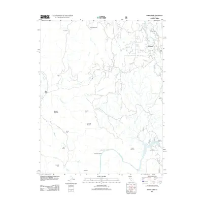
2012 Map of North Fork
USGS Topo · Published 2012About this map
North Fork serves as a primary hub of activity in this region of Madera County, situated near the confluence of N Fork Willow Cr and S Fork Willow Cr. The landscape is defined by the significant drop toward the San Joaquin River to the south, where the Wishon Powerhouse and Kerckhoff Lake indicate the industrial harnessing of the river's flow. Moving away from the water, the terrain ascends into notable peaks and flats, including Fish Creek Mountain, Smiley Mountain, and Kennedy Table.
Find a feature on this map
59 named features on this map. Tap any name to fly to it.
Don’t see what you’re looking for? This feature index may not catch every label — zoom into the map to look around manually.
Map Details
Editions of this 2012 North Fork Map
This is the sole edition of this map. No revisions or reprints were ever made.
Other maps of this area

1904 · Kaiser
USGS Topo · 1:125,000

1912 · Mariposa
USGS Topo · 1:125,000

1916 · Sulphur Springs
USGS Topo · 1:24,000

1919 · Sulphur Springs
USGS Topo · 1:31,680

1942 · Millerton Lake
USGS Topo · 1:62,500

1945 · Millerton Lake
USGS Topo · 1:62,500

1947 · Mariposa
USGS Topo · 1:250,000

1948 · Mariposa
USGS Topo · 1:250,000
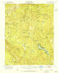
1953 · Bass Lake
USGS Topo · 1:62,500

1953 · Shaver Lake
USGS Topo · 1:62,500