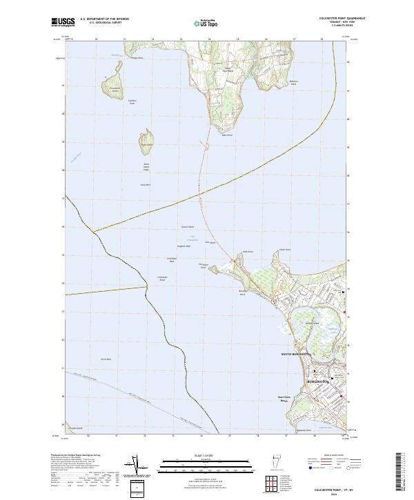
2024 Map of North Hero
USGS Topo · Published 2024About this map
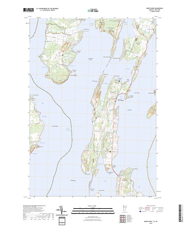
North Hero island and its neighboring landmasses within Lake Champlain anchor this modern survey of Grand Isle County. The landscape is defined by its deep connection to the water, featuring narrow passages like Alburg Passage and La Motte Passage that separate the various peninsulas and islands. The central settlement of North Hero serves as a focal point, anchored by the Grand Isle County Courthouse and overlooking City Bay. The terrain transitions from the low-lying wetlands of The Marsh on Isle La Motte to the sandy stretches of Alburgh Dunes State Park. Genealogists will find several burial grounds across the islands, including South End Cem, Hyde Cem, and the uniquely named Graveyard Point Cem near Savage Point. This map captures the modern road network, from Main St to W Shore Rd, while preserving the traditional place names of points and reefs that have guided navigators for generations.
Find a feature on this map
107 named features on this map. Tap any name to fly to it.
Don’t see what you’re looking for? This feature index may not catch every label — zoom into the map to look around manually.
Map Details
Editions of this 2024 North Hero Map
This is the sole edition of this map. No revisions or reprints were ever made.
Historical Maps of Alburgh Through Time
6 maps found