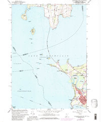
1966 Map of Colchester Point
USGS Topo · Published 1979About this map
South Hero Island and the shores of Lake Champlain define this mid-1960s landscape, illustrating the geographic transition between the island communities and the northern reaches of Burlington. The map captures an era when the Port Kent Burlington Ferry route remained a vital seasonal link across the water. On the mainland, the suburban expansion of Colchester is visible, including community landmarks like the Colchester Point Upper Sch and the Drive-in Theater near the Winooski River.
Find a feature on this map
66 named features on this map. Tap any name to fly to it.
Don’t see what you’re looking for? This feature index may not catch every label — zoom into the map to look around manually.
Map Details
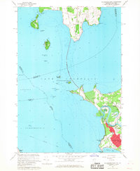
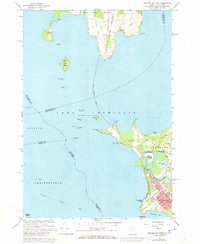
Editions of this 1966 Colchester Point Map
3 editions found
Other maps of this area

1894 · Plattsburg
USGS Topo · 1:62,500

1895 · Willsboro
USGS Topo · 1:62,500

1906 · Plattsburg
USGS Topo · 1:62,500

1906 · Burlington
USGS Topo · 1:62,500

1913 · Milton
USGS Topo · 1:48,000

1915 · Milton
USGS Topo · 1:62,500

1919 · Burlington
USGS Topo · 1:62,500

1939 · Plattsburg
USGS Topo · 1:62,500

1941 · Plattsburg
USGS Topo · 1:62,500

1941 · Willsboro
USGS Topo · 1:62,500