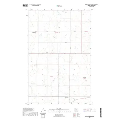
2020 Map of North Lothair School
USGS Topo · Published 2020About this map
North Lothair School (historical) stands as the primary landmark of this high plains landscape in northern Montana. The terrain is defined by a series of deep drainage features, including Galata Ravine in the northwest and the winding cuts of Tiber Coulee and Sekora Coulee to the south. These coulees serve as natural breaks in a systematic grid of section lines and gravel tracks like Lothair Rd and Utopia Rd. The intermittent flow of Eagle Creek bisects the quadrangle, illustrating the arid hydrology of Liberty County. This map provides a clear view of the rural infrastructure and land divisions that persist around the site of the former schoolhouse, offering essential geographic context for those researching the early educational and agricultural history of the region.
Find a feature on this map
19 named features on this map. Tap any name to fly to it.
Don’t see what you’re looking for? This feature index may not catch every label — zoom into the map to look around manually.
Map Details
Editions of this 2020 North Lothair School Map
This is the sole edition of this map. No revisions or reprints were ever made.
Other maps of this area

1954 · Shelby
USGS Topo · 1:250,000

1958 · Shelby
USGS Topo · 1:250,000

1962 · Tiber
USGS Topo · 1:24,000

1962 · Lakey Ranch
USGS Topo · 1:24,000

1962 · North Lothair School
USGS Topo · 1:24,000

1962 · Berkholder Reservoir
USGS Topo · 1:24,000

1962 · Blair Ranch
USGS Topo · 1:24,000

1962 · Mc Carters Lake SE
USGS Topo · 1:24,000

1970 · Sagebrush Coulee
USGS Topo · 1:24,000

1970 · Galata
USGS Topo · 1:24,000