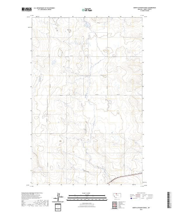
2024 Map of North Lothair School
USGS Topo · Published 2024About this map
Eagle Creek meanders through the central corridor of this Liberty County landscape, cutting a winding path through the high plains of northern Montana. The terrain is defined by natural drainages and landform features like Galata Ravine and Sekora Coulee, which disrupt the otherwise orderly grid of the Public Land Survey System. This modern survey illustrates how long-established rural infrastructure persists, with a network of local thoroughfares such as Lothair Rd, N Lothair Rd, and Utopia Rd providing the primary access through these agricultural townships. The map clearly delineates the boundaries between Townships 32 and 33 North, reflecting a landscape where human geography is strictly organized by range lines while remaining fundamentally tied to the natural contours of the creek beds and coulees.
Find a feature on this map
18 named features on this map. Tap any name to fly to it.
Don’t see what you’re looking for? This feature index may not catch every label — zoom into the map to look around manually.
Map Details
Editions of this 2024 North Lothair School Map
This is the sole edition of this map. No revisions or reprints were ever made.
Other maps of this area

1954 · Shelby
USGS Topo · 1:250,000

1958 · Shelby
USGS Topo · 1:250,000

1962 · Tiber
USGS Topo · 1:24,000

1962 · Lakey Ranch
USGS Topo · 1:24,000

1962 · North Lothair School
USGS Topo · 1:24,000

1962 · Berkholder Reservoir
USGS Topo · 1:24,000

1962 · Blair Ranch
USGS Topo · 1:24,000

1962 · Mc Carters Lake SE
USGS Topo · 1:24,000

1970 · Sagebrush Coulee
USGS Topo · 1:24,000

1970 · Galata
USGS Topo · 1:24,000