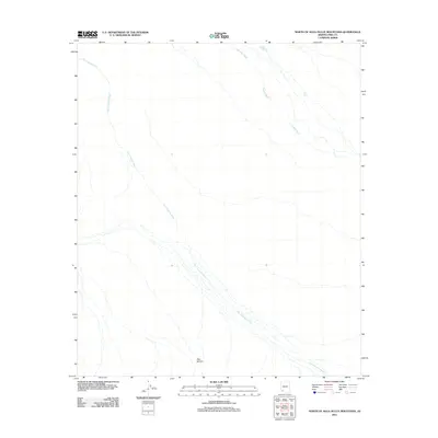
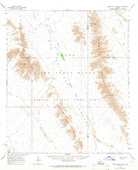
2011 Map of North of Agua Dulce Mountains
USGS Topo · Published 2011About this map
San Cristobal Wash dominates the arid landscape in this 2011 survey, cutting a wide path through Pima County. The terrain is characterized by these ephemeral drainage systems, including the smaller Growler Wash to the northeast, which define the movement of water across the desert floor. In such a dry environment, small water catchments like Redtail Tank and Parra Tank represent critical points of human and animal interest. Deer Hollow provides a distinct topographic break in the southern portion of the map. This area, located north of the namesake mountains, shows a landscape largely shaped by natural watercourses rather than modern infrastructure, offering a clear view of the region's natural hydrology and primitive trail crossings.
Find a feature on this map
5 named features on this map. Tap any name to fly to it.
Don’t see what you’re looking for? This feature index may not catch every label — zoom into the map to look around manually.
Map Details
Editions of this 2011 North of Agua Dulce Mountains Map
This is the sole edition of this map. No revisions or reprints were ever made.
Other maps of this area

1953 · Ajo
USGS Topo · 1:250,000

1957 · Ajo
USGS Topo · 1:250,000

1958 · Ajo
USGS Topo · 1:250,000

1962 · Ajo
USGS Topo · 1:250,000

1963 · Ajo
USGS Topo · 1:250,000
1964 · Growler Peak
USGS Topo · 1:62,500
1964 · Agua Dulce Mts
USGS Topo · 1:62,500
1965 · O'Neill Hills
USGS Topo · 1:62,500
1965 · Granite Mountains
USGS Topo · 1:62,500
1967 · Ajo
USGS Topo · 1:250,000