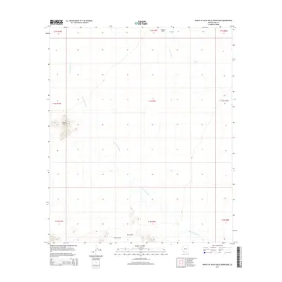
2014 Map of North of Agua Dulce Mountains
USGS Topo · Published 2014About this map
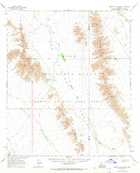
San Cristobal Wash dominates the arid drainage pattern of this Pima County landscape, cutting a wide path southeast to northwest across the valley floor. The map highlights the topographic transition from the broad expanse of Growler Valley toward the more defined elevations of the Antelope Hills in the west. At the southern edge of the survey, the terrain shifts into Chinaman Flat and the depressions of Deer Hollow, indicating a complex system of seasonal water management and natural catchment.
Find a feature on this map
17 named features on this map. Tap any name to fly to it.
Don’t see what you’re looking for? This feature index may not catch every label — zoom into the map to look around manually.
Map Details
Editions of this 2014 North of Agua Dulce Mountains Map
This is the sole edition of this map. No revisions or reprints were ever made.
Other maps of this area

1953 · Ajo
USGS Topo · 1:250,000

1957 · Ajo
USGS Topo · 1:250,000

1958 · Ajo
USGS Topo · 1:250,000

1962 · Ajo
USGS Topo · 1:250,000

1963 · Ajo
USGS Topo · 1:250,000
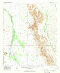
1964 · Growler Peak
USGS Topo · 1:62,500
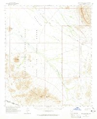
1964 · Agua Dulce Mts
USGS Topo · 1:62,500
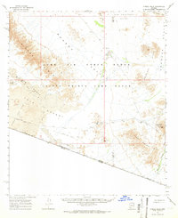
1965 · O'Neill Hills
USGS Topo · 1:62,500
1965 · Granite Mountains
USGS Topo · 1:62,500
1967 · Ajo
USGS Topo · 1:250,000