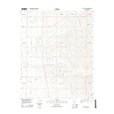
2015 Map of North of Oildale
USGS Topo · Published 2015About this map
Majors Airport and the surrounding agricultural landscape define this portion of the San Joaquin Valley north of the Kern River oil fields. The terrain transitions from the flat valley floor to the foothills where Mt Poso and Brushy Hill rise above the drainage of Poso Cr. The road network reflects the area's diverse industrial and agricultural identity, with routes like Industrial Farm Rd and Mt Poso Conservation Plant Rd indicating a landscape shaped by resource management. Local drainage is dominated by the seasonal paths of Little Cr and Poso Cr, which meander through the grid-based sections of the Central Valley. For those researching regional history, the map provides a clear look at local landmarks such as Poso Ranch Rd and the crossing at Emigrant Pass Rd during the early 21st century.
Find a feature on this map
48 named features on this map. Tap any name to fly to it.
Don’t see what you’re looking for? This feature index may not catch every label — zoom into the map to look around manually.
Map Details
Editions of this 2015 North of Oildale Map
This is the sole edition of this map. No revisions or reprints were ever made.
Other maps of this area
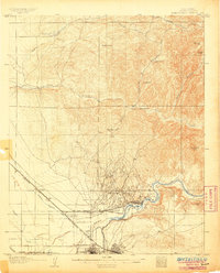
1906 · Bakersfield
USGS Topo · 1:62,500
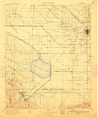
1910 · Buena Vista Lake
USGS Topo · 1:125,000
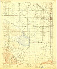
1912 · Buena Vista Lake
USGS Topo · 1:125,000
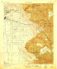
1914 · Caliente
USGS Topo · 1:125,000
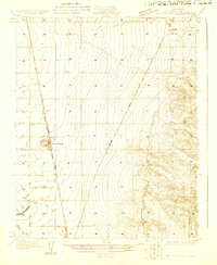
1927 · McFarland
USGS Topo · 1:31,680
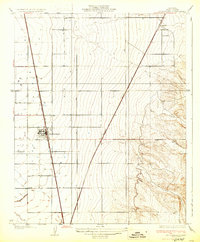
1930 · McFarland
USGS Topo · 1:31,680
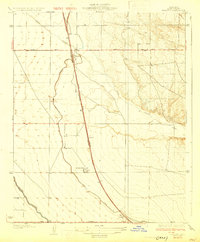
1930 · Famoso
USGS Topo · 1:31,680
1930 · Rosedale
USGS Topo · 1:31,680
1930 · Oildale
USGS Topo · 1:31,680
1931 · Deepwell Ranch
USGS Topo · 1:31,680