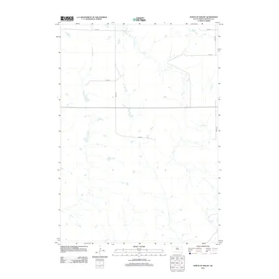
2012 Map of North of Shelby
USGS Topo · Published 2012About this map
Elm Cr and its various tributaries wind through this section of Buffalo County, defining the drainage patterns of a landscape marked by wide-open prairie and agricultural use. In the early 21st century, the area remains dominated by a systematic grid of section roads, including 225th St and 349th Ave, which facilitate movement across this rural expanse. The geography is characterized by the presence of numerous small prairie potholes and intermittent water bodies, common to this part of South Dakota. At the southern edge of the sheet, the headwaters or sections of Crow Cr appear, indicating the divide between local drainage basins. This survey provides a precise look at the rural infrastructure of the Crow Creek District, showing how modern county roads like 229th St follow the long-established legal land partitions of the Great Plains.
Find a feature on this map
8 named features on this map. Tap any name to fly to it.
Don’t see what you’re looking for? This feature index may not catch every label — zoom into the map to look around manually.
Map Details
Editions of this 2012 North of Shelby Map
This is the sole edition of this map. No revisions or reprints were ever made.
Other maps of this area

1935 · Chamberlain
USGS Topo · 1:62,500

1939 · Chamberlain
USGS Topo · 1:62,500

1941 · Pukwana
USGS Topo · 1:62,500

1951 · Pukwana
USGS Topo · 1:62,500

1953 · Huron
USGS Topo · 1:250,000

1954 · Huron
USGS Topo · 1:250,000

1955 · Mitchell
USGS Topo · 1:250,000

1959 · Mitchell
USGS Topo · 1:250,000

1966 · Big Bend Dam NE
USGS Topo · 1:24,000

1966 · Big Bend Dam SE
USGS Topo · 1:24,000
Featured Places
- Grant West Township, Crow Creek District
- Wilson Township, Crow Creek District
- Pershing Township, SD
- Grant East Township, SD
- Arlington Township, SD